
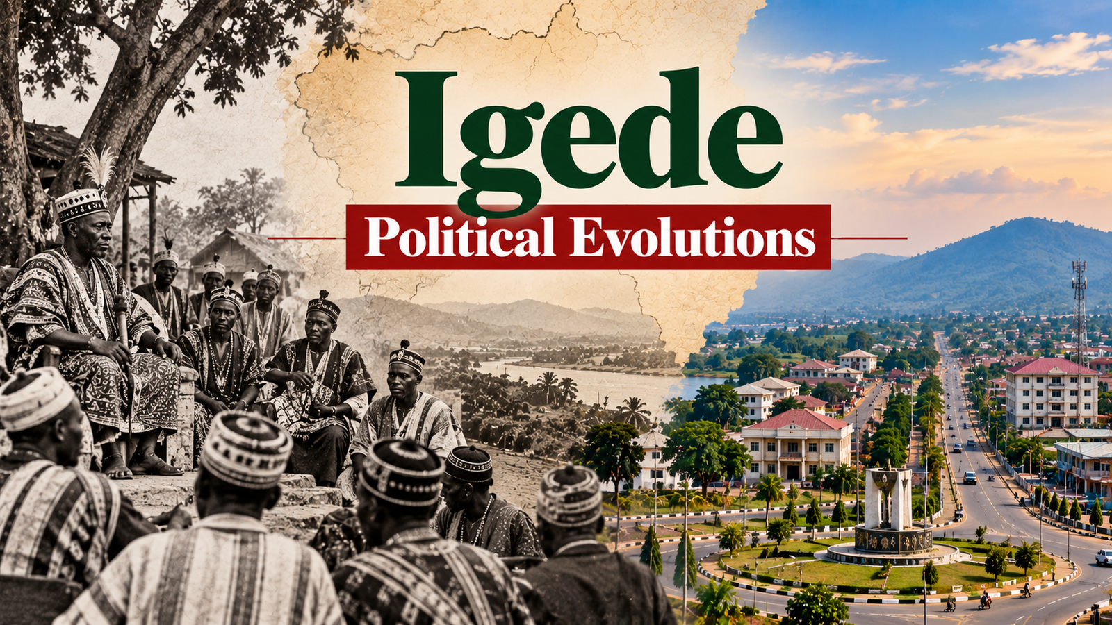
Imagine belonging to a people whose ancestral land has remained largely in the same geographical location for generations, yet whose political identity has repeatedly been redefined by governments operating from distant administrative headquarters.
Imagine waking up one day to discover that the authorities who once governed your community from the south had decided that your political future would now be administered from the north.
Your language has not changed. Your traditions have not disappeared. Your ancestral settlements remain where they have always been.
Yet the political map has changed around you.
This is one of the central themes in the political history of the Igede people, an ethnic nationality predominantly inhabiting Oju and Obi Local Government Areas of present-day Benue State, Nigeria.
Today, Igede is commonly discussed within the broader political geography of Benue South Senatorial District, alongside Idoma and other neighbouring communities.
But this modern arrangement tells only part of the story.
According to Igede historical traditions and accounts of early colonial administration, parts of Igede territory were previously connected to the Abakaliki administrative axis of old Ogoja Province in Southern Nigeria before becoming incorporated into the northern administrative system.
That transition forms the foundation of a larger historical question:
How did a people with longstanding connections to the Cross River–Ogoja frontier become politically incorporated into the Idoma administrative structure, and what did that change mean for their identity, autonomy and future?
To understand this question, we must examine the evolution of Igede society before colonial rule, the British restructuring of Nigeria and the political institutions that eventually shaped modern Benue State.
The Igede People Before British Colonial Administration
Long before the arrival of British colonial officials, the Igede people possessed their own communities, cultural institutions, language and systems of traditional government.
Igede society did not originate with the creation of Benue State, the establishment of Idoma Division or the formation of any British Native Authority.
Its history extends into the precolonial period, when communities organised their affairs through indigenous political and social institutions.
Where Is Igede Land Located?
The principal Igede homeland lies within present-day Oju and Obi Local Government Areas of Benue State.
Important settlements and communities include Oju, Ainu, Uwokwu, Idele, Ichama, Adiko, Ikwokwu and other surrounding areas.
Igede-speaking populations and historically connected communities are also found beyond these two local government areas, they are also stretch into Gwer East and Konshisha Local Government Areas of Benue State and including parts of neighbouring Cross River State.
Igede territory lies within a broad cultural frontier connecting the Benue valley with the Cross River hinterland.
The region historically supported movement, trade, intermarriage and cultural interaction across communities that later came under different colonial and state administrations.
Igede Language and Cultural Identity
The Igede language is a distinct language within the wider Niger-Congo language family.
Although Igede and Idoma belong to related linguistic environments and share some broader regional cultural characteristics, their languages and identities remain distinguishable.
Igede communities also maintain their own traditional practices, customary institutions, historical narratives and cultural expressions.
These distinctions are essential to understanding why some Igede historical accounts describe incorporation into the Idoma administrative structure as a political arrangement rather than a voluntary merger of ethnic identities.
The Historical Origins of the Igede People
Igede oral traditions contain accounts of migration, settlement and relationships with neighbouring communities.
Some traditions connect Igede ancestry to movements through the Obudu–Ogoja axis, while others account link them to the ancient Benin empire in the present day ora land in owan west local government area of Edo State and it is true because Igede people do not have a single ancestry as it is widely speculated on their oral history before now.
Such traditions are valuable sources of community history.
However, oral accounts of migration should not automatically be treated as proof that every Igede community followed one identical migration route.
Different clans may preserve different traditions, reflecting the complexity of settlement and population movement over time.
What is clear is that Igede identity predates British colonial administration.
The people were not created by the political structures that later incorporated their territory into Northern Nigeria.
1900: The Colonial Division of Nigeria and the Igede Frontier
On 1 January 1900, the British established separate administrations for Northern and Southern Nigeria.
The Southern Nigeria Protectorate included the former Niger Coast Protectorate and territories previously administered by the Royal Niger Company south of Lokoja.
The Northern Nigeria Protectorate covered extensive territories farther inland.
The boundary between these administrations was not designed primarily around the ethnic identities of every community living near it.
Instead, British officials considered geography, transportation, military control and the practical demands of administering newly conquered territories.
For communities along the Cross River–Benue frontier, this created a complicated political environment.
Their traditional relationships did not necessarily correspond to the boundaries appearing on colonial maps.
Why the Cross River–Benue Frontier Matters
The Igede homeland occupies a geographical position between major cultural and administrative zones.
To the south and southeast lie communities historically associated with the Ogoja and Obudu areas.
To the west are territories associated with Abakaliki and neighbouring communities.
To the north and northwest lie Idoma-speaking areas and the wider Benue valley.
These geographical relationships made the Igede territory particularly vulnerable to changes in colonial administrative boundaries.
A decision made by British officials to reorganise a district or transfer responsibility between provincial headquarters could fundamentally alter the political institutions governing a community.
1906: The Three Provinces of Southern Nigeria
In May 1906, the British merged Lagos with the Southern Nigeria Protectorate.
Under Governor Walter Egerton, the enlarged territory was organised into three broad provinces.
| Province | Headquarters | Broad administrative territory |
|---|---|---|
| Western Province | Lagos | Lagos and the Yoruba hinterland |
| Central Province | Warri | Benin, Warri and lower Niger territories |
| Eastern Province | Calabar | Cross River territories and the eastern hinterland |
The Eastern Province covered a large and culturally diverse geographical area.
Its administration included territories that would later be reorganised into smaller provinces and divisions.
It is within this evolving administrative geography that the historical account of Igede’s relationship with Abakaliki and Ogoja must be considered.
The Igede–Abakaliki Connection.
One of the most significant claims preserved in the supplied Igede historical material concerns the early administrative relationship between Igede territory and Abakaliki Division.
According to history, large parts of Igede land were once administered through the Abakaliki division of old Ogoja Province.
This placed those communities within a southern administrative network before their subsequent incorporation into the northern system.
Abakaliki as a sub Administrative Centre
Within the old Ogoja provincial system, Abakaliki became associated with the administration of several communities, including the Izzi, Ezza and Ikwo areas.
This historical account also places parts of Igede territory within the wider reach of Abakaliki administration.
Under this arrangement, colonial officials stationed in Abakaliki exercised responsibilities over administrative matters affecting communities assigned to their jurisdiction.
These responsibilities included local courts, taxation, policing and communication with Native Authorities.
1914–1915: Ogoja Province and the Reorganisation of the Eastern Frontier
The amalgamation of Northern and Southern Nigeria in January 1914 marked another major turning point.
Sir Frederick Lugard became Governor-General of the unified colonial territory.
During the surrounding period, British authorities continued reorganising provincial administration.
Ogoja emerged as an important provincial headquarters for the Cross River hinterland.
The territory associated with old Ogoja included communities now distributed across different modern states.
Ogoja Province and Its Administrative Divisions
The supplied historical account identifies four major divisions associated with old Ogoja Province:
- Ogoja Division
- Abakaliki Division
- Afikpo Division
- Obubra Division
These divisions did not necessarily retain identical boundaries throughout the colonial period.
Their significance lies in the fact that they demonstrate how territories now regarded as politically separate were once linked through a common administrative structure.
For Igede historical research, the Abakaliki connection is particularly important.
It provides a starting point for investigating how the British classified communities along the Cross River–Benue frontier.
Colonial Boundaries Versus Indigenous Identity
The colonial government viewed territory primarily through the requirements of administration.
Communities were assigned to districts, divisions and provinces.
But these assignments did not necessarily reflect indigenous political preferences.
The creation of a provincial boundary could separate communities that shared cultural relationships.
Similarly, the transfer of a district could place a population under a new political authority without changing its language or ancestral identity.
For the Igede people, this distinction between administrative membership and ethnic identity would become increasingly important.
1918–1923: The Colonial Transfer That Changed Igede’s Political Trajectory.
The most consequential period in the colonial political history of Igede appears to have been the years immediately following the First World War.
During this period, the British were reorganising the frontier between the Northern and Southern Provinces.
A historical administrative account preserved by the National Library of Nigeria provides an important clue.
It records that in 1922, a colonial expedition referred to as the Egede–Ukelle escort established British administrative control over the Egede area and helped define the boundary between the Northern and Southern Provinces.
This is particularly important because the historical name Egede appears in colonial records relating to the territory associated with present-day Igede.
The 1922 Egede–Ukelle Expedition
The significance of the 1922 expedition should not be underestimated.
It demonstrates that the Igede frontier was still undergoing territorial consolidation years after the 1914 amalgamation.
The colonial account describes the establishment of the north–south provincial boundary in this area.
These accounts provide documentary support for the broad historical argument that Igede’s incorporation into northern administration was part of an active colonial boundary-making process.
They do not, by themselves, prove that all Igede territory had previously belonged formally to Abakaliki Division because even til today, some Igede terrtories are still in the Yala Local Government area of cross river state, that is to say, while a large portion of Igede land was administered from Abakaliki division, a smaller portion of Igede land (Gabu, Itekpa, Opirikwu and numerious other Igede communities that are still under Yala LGA till today) was administered from Igoli Ogoja division of old ogoja procince.
Why Was Igede Territory Assigned to Northern Administration?
The available evidence suggests that British officials were concerned with establishing manageable administrative boundaries and extending effective control over frontier communities.
The decision also occurred during a wider reorganisation involving Okpoga, Ankpa and neighbouring districts.
The historical record does not establish a single official explanation specifically for the placement of Igede territory.
Nevertheless, the arrangement had lasting consequences.
The people became incorporated into a northern administrative system that increasingly linked them politically with communities in the Idoma area.
1923–1928: The Emergence of Idoma Division
The development of Idoma Division was not a single event completed in one year.
Different colonial records describe several stages of administrative consolidation.
A historical account held by the National Library of Nigeria places the separation of northern districts from Igala administration and their formation into Idoma Division in 1923.
The same account identifies 1924 as the year the divisional headquarters was established at Otukpo, following the opening of the railway.
It further records that the administrative structure took a more complete form in 1928, with the establishment of Benue Province and the merging of Okpoga Division into Idoma Division.
These records provide a more detailed chronology than the commonly repeated claim that Idoma Division was simply created in 1922.
The Administrative Consolidation Timeline
| Year | Historical development |
|---|---|
| 1918 | Okpoga Division was transferred into the northern provincial administration |
| 1922 | Colonial control was extended over the Egede |
| 1923 | Northern districts were separated from Igala administration to form Idoma Division |
| 1924 | Otukpo became the divisional headquarters |
| 1927 | The Idoma Central Native Council received formal approval |
| 1928 | Okpoga Division was merged into Idoma Division during further reorganisation |
This shows that Igede’s political incorporation was part of a developing administrative system, not merely a single boundary adjustment.
Why Otukpo Became Important
Otukpo’s importance increased with the development of railway transportation.
The railway improved communication between the divisional headquarters and other parts of colonial Nigeria.
For British administrators, transportation infrastructure influenced the location of government institutions.
A railway-connected headquarters offered advantages for communication, movement of officials and administration.
Consequently, Otukpo became a major political centre for the emerging Idoma administrative territory.
For communities farther away, including Igede, this also meant that important government decisions were increasingly concentrated outside their immediate homeland.
The Idoma Native Authority and the Question of Igede Autonomy
The establishment of Native Authority institutions was another defining development.
In 1927, the colonial administration formally approved the Idoma Central Native Council.
The institution brought district leadership into a wider administrative arrangement.
It provided a framework through which the British could coordinate local governance.
However, the administrative territory was not linguistically or culturally homogeneous.
Four Distinct Ethnolinguistic tribes
The supplied historical account identifies four important groups within the wider colonial political arrangement.
| Community | Historical identity |
|---|---|
| Akpoto | Communities associated with the Idoma-speaking population today. |
| Igede | Ethnolinguistic nationality with its own language and traditions known as Igede today. |
| Akweya / Akpa | Communities maintaining a separate Akweya linguistic identity |
| Ufia / Utonkon | Communities with their own linguistic and cultural heritage in today Ado LGA of Benue State. |
These communities had historical relationships, but they were not interchangeable ethnic identities.
The colonial administrative system brought them into shared political institutions.
That arrangement did not necessarily mean that every community consented to a common ethnic identity.
The Igede Objection to Political Absorption
According to the Igede oral-history material supplied for this article, Igede leaders resisted incorporation into the wider Idoma Native Authority.
The account presents their objection as a defence of linguistic distinction, traditional political institutions and community autonomy.
It also describes British officials as prioritising administrative convenience over those objections, an agitation that is still visible till today in Benue South Senatorial District.
1947: The Och’Idoma Institution and the Consolidation of Political Authority
The next major development was the establishment of the central Och’Idoma traditional institution.
Before this period, the colonial administrative arrangement operated through councils and district-level traditional authorities.
In 1947, Chief Ogiri Oko emerged as the first Och’Idoma.
The creation of this paramount institution represented an important stage in the consolidation of traditional political authority across the wider Idoma administrative area.
The Role of Educated Political Elites
The supplied historical account associates the development of the Och’Idoma institution with the activities of the Idoma Hope Rising Union.
The union is presented as an organisation that sought greater political coordination and recognition for Idoma communities.
Its activities belong to a wider period when educated elites across Nigeria were establishing cultural and political associations.
These organisations often campaigned for improved education, administrative representation and stronger communal institutions.
For the Igede, however, the wider agitation for her autonamous remained unresolved.
1960–1976: From Northern Nigeria to Benue State
Nigeria gained independence on 1 October 1960.
Igede territory became part of the independent federation through the administrative boundaries inherited from British rule.
The abolition of the regional system in 1967 brought another major change.
General Yakubu Gowon’s government created 12 states, including Benue-Plateau State.
Igede communities subsequently became part of the political geography that would produce modern Benue State.
1976: The Creation of Benue State and Oju Local Government
On 3 February 1976, the military government of General Murtala Mohammed created Benue State from the former Benue-Plateau State.
The restructuring established a new state government headquartered in Makurdi.
The same year, Oju Local Government Area emerged during Nigeria’s local government reforms.
This gave Igede communities a more distinct local administrative platform.
1996: The Creation of Obi Local Government Area
Another important development occurred in 1996.
Obi Local Government Area was created from the existing administrative structure, with its headquarters at Obarike-Ito.
This meant that the Igede homeland was now administered through two local government areas:
- Oju LGA: Headquarters at Oju.
- Obi LGA: Headquarters at Obarike-Ito.
Although the creation of Oju and Obi increased local administrative recognition, both remained within the wider Benue South political structure.
Igede in Modern Benue State: Identity, Representation and Political Voice
Today, the Igede people are recognised as one of the major ethnolinguistic populations of Benue State, alongside the Tiv and Idoma.
They are predominantly concentrated in Oju and Obi Local Government Areas.
Their political representation operates within Benue State’s local government, state legislative and federal electoral systems.
The Igede homeland forms part of Benue South Senatorial District, which includes several Idoma-speaking and other communities.
The Difference Between Shared Administration and Shared Ethnicity
One of the most important lessons from Igede political history is that administrative affiliation does not automatically determine ethnic identity.
A community can belong to the same state, senatorial district or historical division as another community while maintaining a separate language, culture and ancestral identity.
The Igede and Idoma illustrate this distinction.
Their political histories became closely connected through colonial administration, but the Igede remain a distinct people.
Recognising this distinction does not require denying their shared political experiences or the relationships that have developed between neighbouring communities.
Rather, it allows those relationships to be understood without erasing cultural differences.
The Continuing Debate Over Political Autonomy
The supplied historical material describes a longstanding Igede desire for stronger political recognition.
Such demands may involve greater representation, more responsive institutions, protection of cultural identity and improved access to development resources.
They also raise broader questions about the structure of government in Benue State.
Should historical minority communities receive additional administrative recognition?
How can existing political institutions better reflect the identities of different communities?
And can demands for local autonomy be addressed while preserving cooperation between neighbouring ethnic groups?
These are legitimate questions within a democratic federation.
They require historical understanding, political dialogue and constitutional processes rather than assumptions that all members of any community share identical political preferences.